
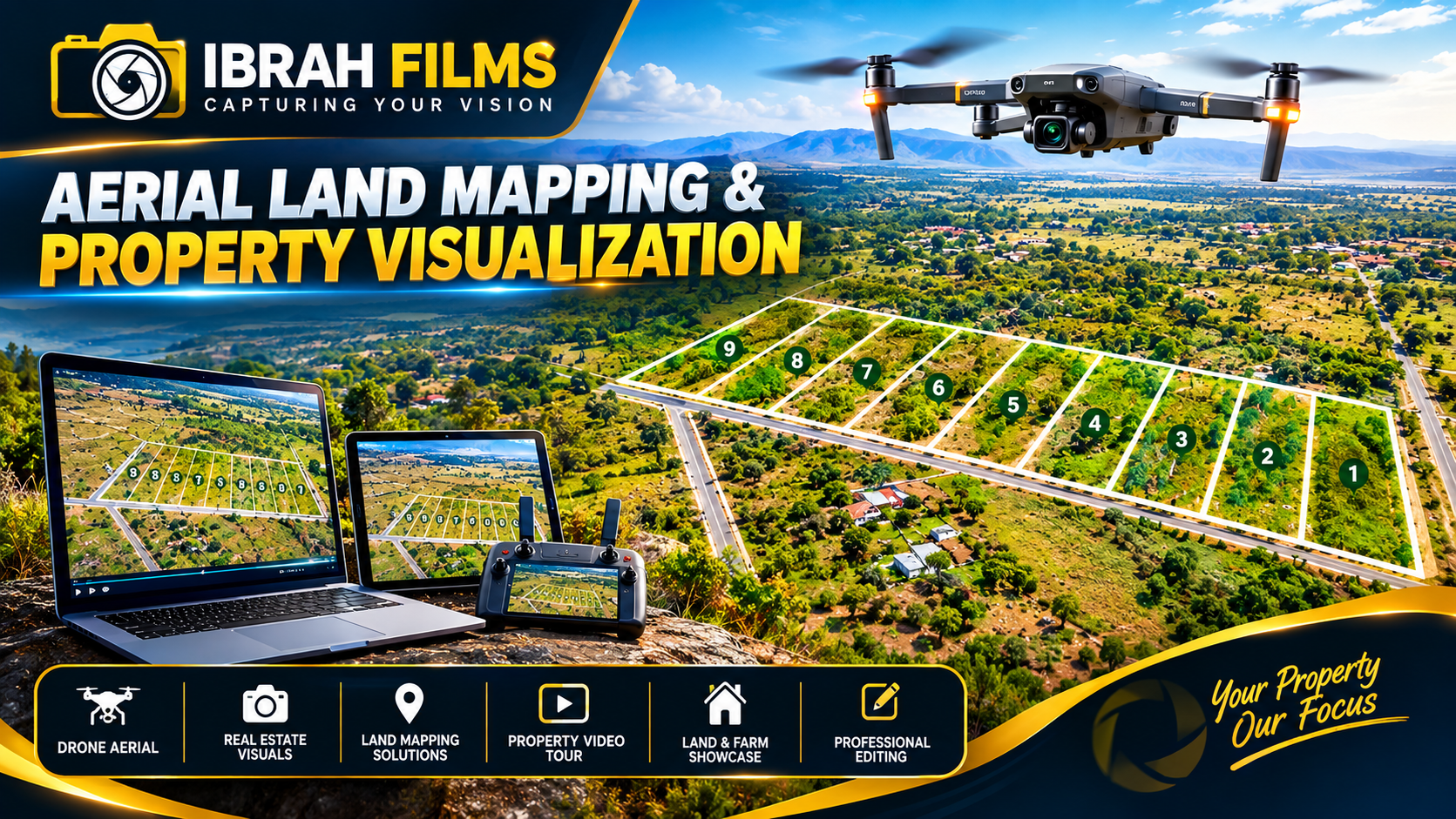
🏡 Aerial Land Mapping
🏡 Aerial Land Mapping & Property Visualization
Show your property from a whole new perspective.
At Ibrah Films, we provide professional drone aerial photography, land mapping, and property visualization services for landowners, real-estate agents, property developers, and land-selling companies.
We capture high-quality aerial footage and images of your property and can add clear plot boundaries, plot numbers, access roads, landmarks, and other important property details to create an easy-to-understand visual presentation.
Whether you are selling plots, marketing a development project, documenting your property, or showcasing land to potential buyers, our aerial mapping visuals help customers see and understand the property before visiting the site.
What's Included:
- 🚁 Professional drone aerial photography
- 🎥 Aerial property videos
- 🗺️ Plot boundary and subdivision visualization
- 🔢 Plot numbering and labeling
- 🛣️ Access road visualization
- 📍 Property location and landmark presentation
- 🏘️ Real-estate and land-sale marketing videos
- 📱 Social media & website-ready property content
- 🎬 Professional editing and promotional graphics